
Both societies, on the satellite.
Faisal Hills and Multi Gardens B-17 are georeferenced plans over satellite imagery, including blocks A to G and C-1. The map is for reference. Verify every file with the office.
Layout plan
Multi Gardens B-17, block by block
These are the MPCHS sheets. The same drawings sit on the satellite map. Zoom the sheet here, or open the property map to see it on the imagery.
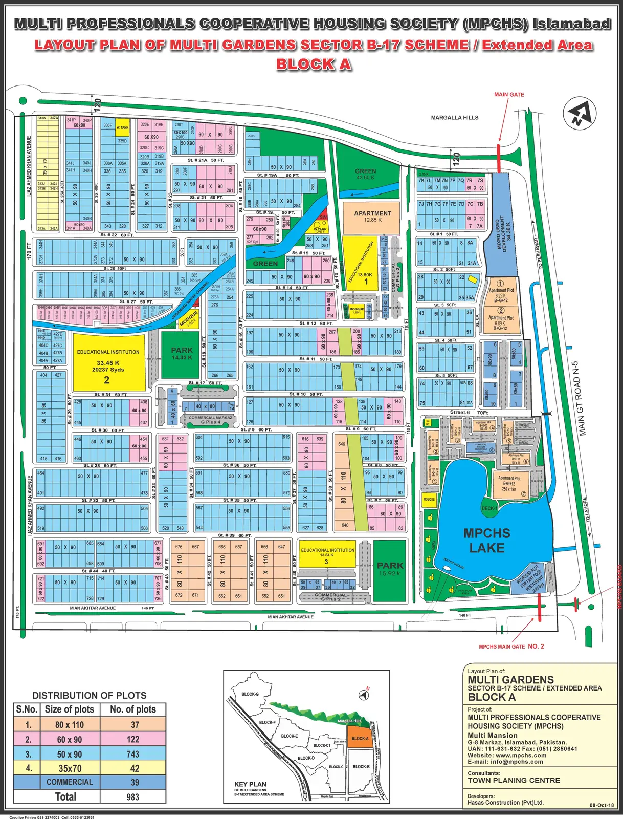
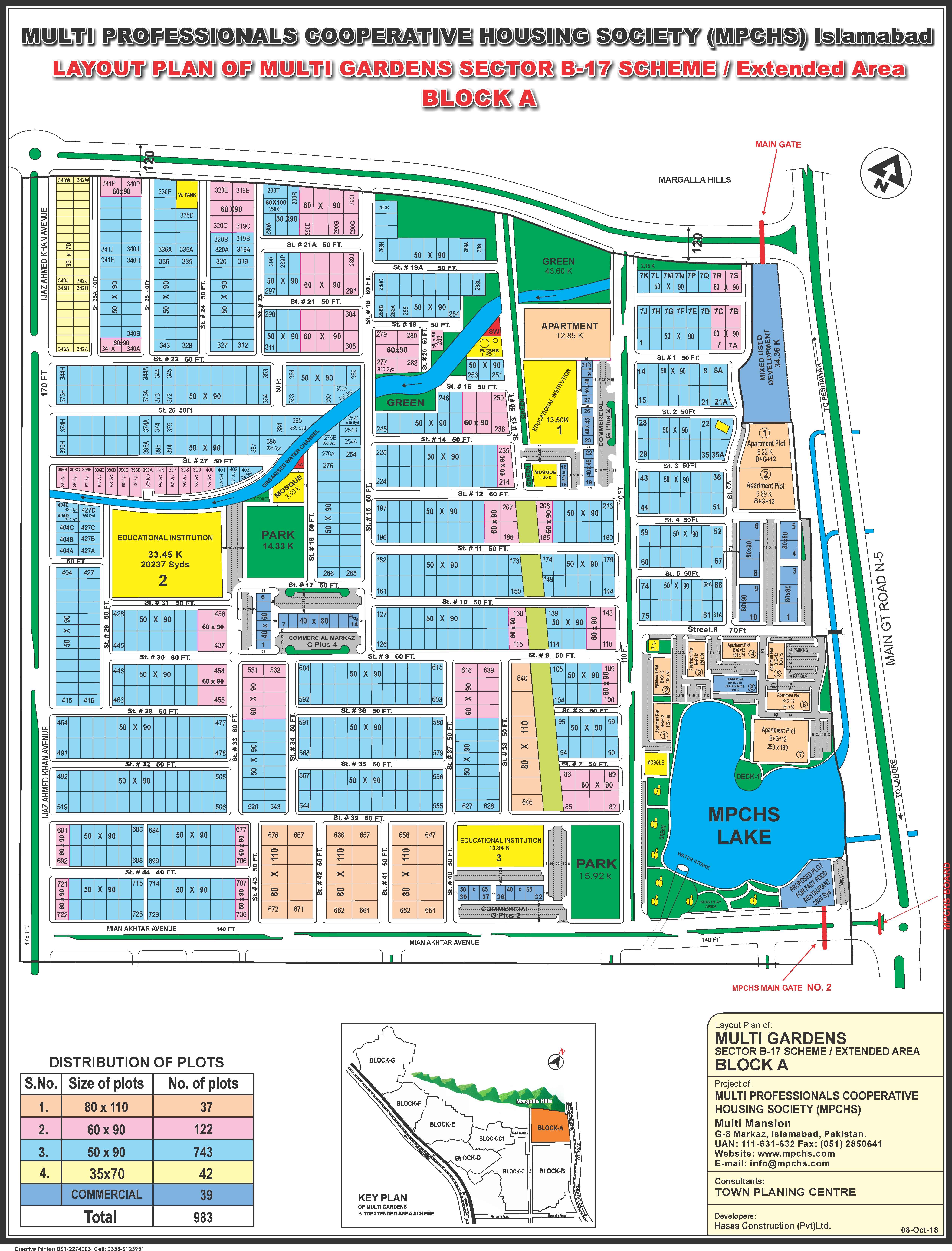
The plans are the office sheets, warped to Esri World Imagery with ground control stored in the repo. Both societies stay on the map together. Page margins are left clear so the satellite shows through the streets. Multi Gardens draws blocks A to G and C-1 (B-1 is the strip marked EXT-1 BLOCK B on the C-1 sheet). This is a reference, not a cadastral survey. Confirm the file with the authorities before any token is paid.